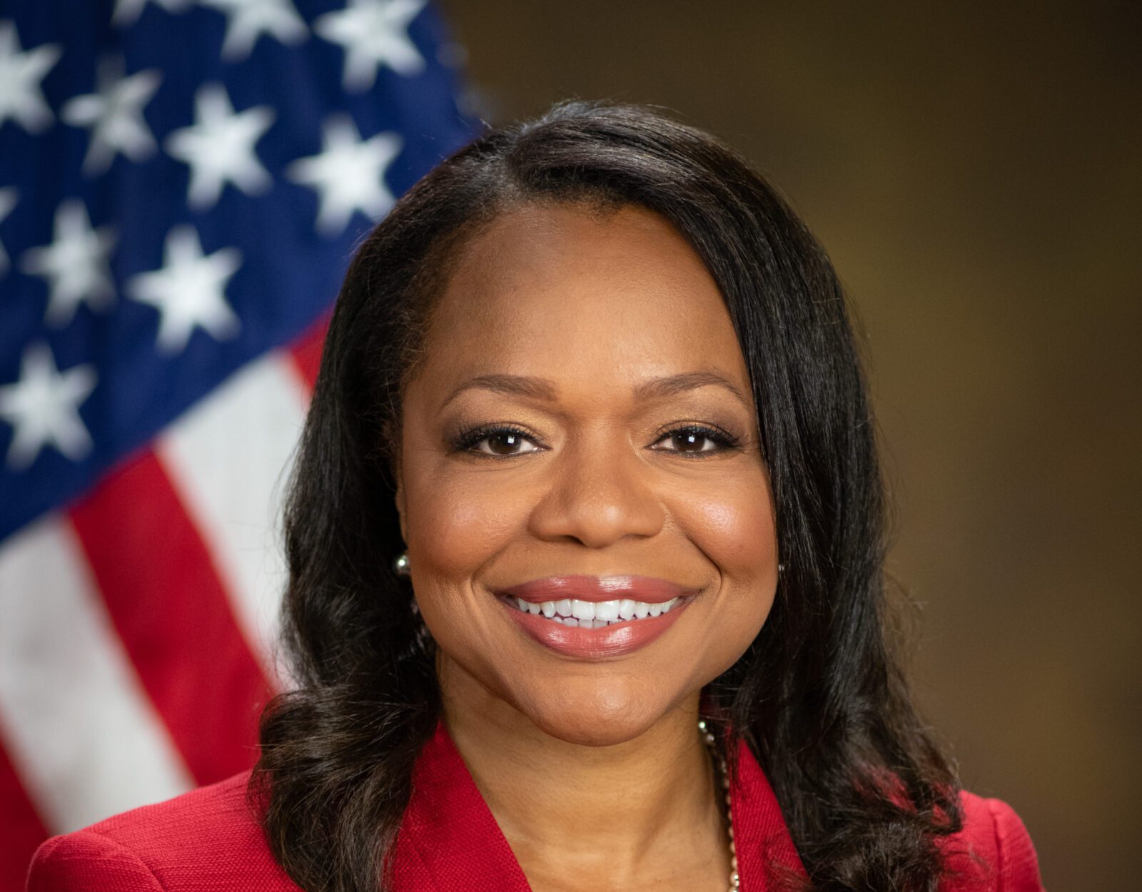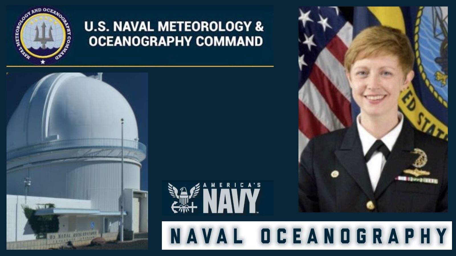
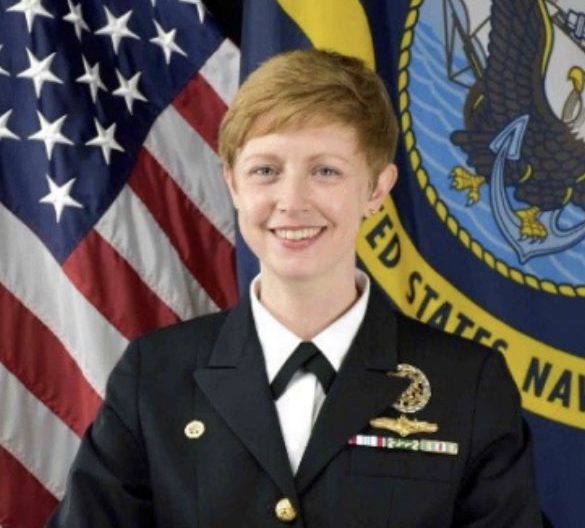
Commander Jen Landry assumed command of FST in September 2021. FST is collocated at Mississippi’s Stennis Space Center.
Comprised of approximately fifty-five military and civilian members, the Navy’s Fleet Survey Team (FST) is collocated with the Naval Oceanographic Office and the Commander, Naval Meteorology and Oceanography Command at Stennis Space Center, Mississippi.
FST is a rapid-response team with capabilities to conduct quick-turnaround hydrographic surveys anywhere in the world.
Currently tasked with overseeing FST is Commander Jen Landry. She assumed command of FST in September 2021. She spoke with Y’all Politics on Friday about her position, FST’s missions, and more.
Commander Jen Landry received her commission in August 2003 and was assigned to the Naval Nuclear Power Training Command for instructor duty. In 2007, Landry accepted a lateral transfer into the Meteorology and Oceanography community. She completed a Bachelor of Science from Denison University in Physics and Mathematics and a Master of Science in Oceanographic Engineering from the Massachusetts Institute of Technology – Woods Hole Oceanographic Institution Joint Program in Oceanography.
According to the Naval Meteorology and Oceanography Command, Commander Landry has served as:
- Command Duty Officer, Training Officer, and Operations Officer at Naval Maritime Forecast Center, Norfolk.
- Flag Aide to the Oceanographer of the Navy at the Naval Observatory and the Pentagon.
- Staff METOC for Commander, Strike Group Eleven embarked aboard USS Nimitz.
- Executive Officer of the Naval Oceanography Anti-Submarine Warfare Center in Yokosuka, Japan.
- Environmental Capabilities Portfolio Manager and Geospatial Information and Services Officer on the Joint Staff.
CDR Landry told Y’all Politics that Fleet Survey Team is probably one of the most unique units she has come across in the Department of Defense (DOD).
“We are a small unit that executes hydrographic surveys in near shore waters,” CDR Landry said. “We have different types of surveys that we can execute for different purposes.”
FST is tasked with performing an unparalleled function within the U.S. Navy and is recognized by combatant commanders as an extremely valuable asset for performing near-shore surveys directly supporting the safe navigation of U.S. forces and supplies.
The command enables combatant commanders access to the littoral regions through expeditionary hydrography. Data is collected and processed by the team on scene in order to provide timely products to the warfighter, including the best possible graphic depiction of potential hazards to navigation.
Command personnel offer a unique blend of military and civilian knowledge and experience. Enlisted sailors routinely qualify as military hydrographers and survey technicians through a robust certification process.
In addition to their strong backgrounds in math, science, and engineering, officers and civilians frequently obtain master’s degrees in hydrographic science through an ongoing program with the University of Southern Mississippi. These FST members are also recognized by the International Hydrographic Office as Category A hydrographers.
Commander Landry said that her team has a unique make up for the military due to its operational structure.
“Most of the time in the military you think of that triangle-shaped structure, but we have one-third officer, one-third enlisted, and one-third civilians,” CDR Landry explained. “We have about the same number of each of those different groups.”
Landry said the enlisted men and women are primarily handling the operation of the survey equipment and maintaining that equipment. The officers lead the beach surveys, and a few of them have the Category A certification to lead the safety of navigation surveys.
The civilians, Commander Landry said, are where they really rely on their technical expertise.
“Some of our civilians have been doing this for decades,” CDR Landry added. “They know every type of thing that’s going to get thrown at them, every type of challenge that they can come across on the planning and execution of these surveys and are really our expertise in knowing that we are going to consistently achieve that safety navigation standard.”
When asked what makes FST so significant, Commander Landry said the unique collaboration.
“At Naval Oceanography, we want to exploit our knowledge of the environment,” CDR Landry said. “I think the unique thing about Fleet Survey Team is that we’re able to take this very, very technical scientific standard and then go out and collect very efficiently to that standard in a way that then directly enables the Navy to be able to do its mission.”
READ MORE ABOUT NAVAL OPERATIONS IN MISSISSIPPI: Mississippi-based Naval Meteorology and Oceanography and Command Office at Stennis key to U.S. Navy’s readiness

Anne Summerhays