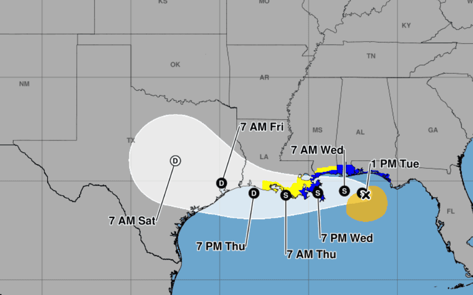
(From the NHC advisory on July 21, 2026 at 1 p.m.)
- Commissioner Chaney reminds Mississippians in Tropical Storm Bertha’s path to review their insurance coverage and make sure they are familiar with the policies.
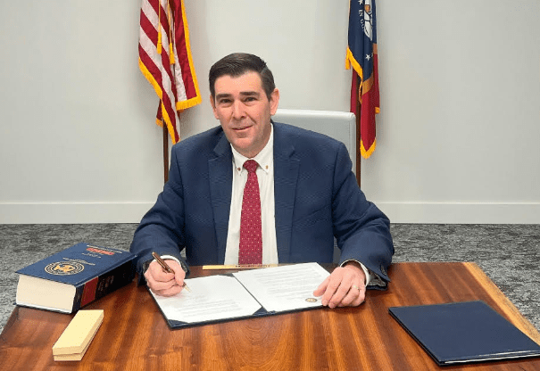
As Tropical Storm Bertha continues to churn its way across the upper Gulf of America, Mississippi Insurance Commissioner Mike Chaney is urging residents to prepare now in the event of flash flooding and other damage that may occur as a result of the tropical weather.
Chaney reminds Mississippians in Bertha’s path to review their insurance coverage and make sure they are familiar with the policies.
Flood insurance takes 30 days to go into effect after it is bought, so if a policy was purchased before this event, residents should check with their carrier.
Those in South Mississippi are also encouraged to create a home inventory to make it easier to file a claim after a disaster. MID notes that a free tool to use is the NAIC Home Inventory app that can be downloaded from the Apple Store or on Google Play. Take photos and videos of the property and items inside the home to make filing a claim faster.

Chaney said packing a “Go Bag” is also a good way to prepare. Include the following:
- Important documents like insurance cards and Social Security cards.
- Keep copies of these documents in a waterproof container or digital image saved online.
- A printed or digital copy of your home inventory.
- Cash
- Medications
- A battery-powered radio
- A gallon of drinking water for every family member and pet
The latest update from the National Hurricane Center, as of Tuesday at 1 p.m., shows Bertha just offshore of the Florida panhandle, with maximum sustained winds of 60 mph. It is moving northwest at 5 mph.
Tropical storm warnings extend from Florida to the Louisiana, with landfall projected Wednesday evening close to New Orleans before it moves back offshore and into Texas on Thursday or Friday.